
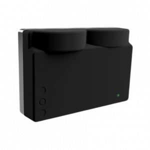
Underwater 3D Laser Scanner
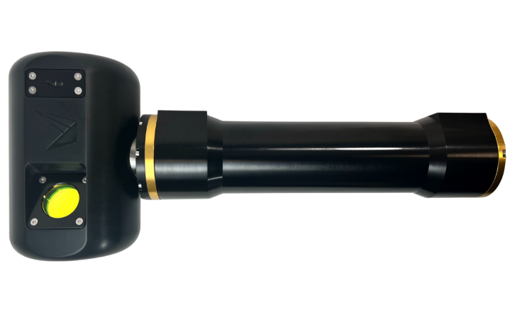
Compact design with a wide detection range
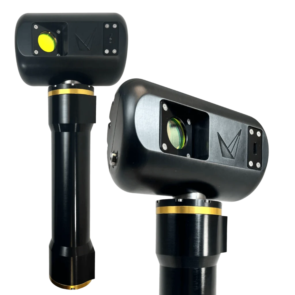
Underwater 3D Laser Scanner
The Insight series is a compact yet powerful underwater laser scanner, designed for a wide range of applications—from short-range detection to long-range, wide-area modeling, and from static to dynamic scanning. When paired with an imaging system, it enables clear 3D imaging underwater. The Insight series underwater laser scanner can be used as a fixed installation or easily integrated onto small and medium-sized vehicles such as AUVs and ROVs.

Provides software API for easy integration with various subsea vehicles

Real-time, high-resolution 3D imaging with exceptional clarity

Supports multiple scanning modes, including static and dynamic scanning

Outputs data in standard formats, compatible with most point cloud analysis software


Static Scanning
Dynamic Scanning

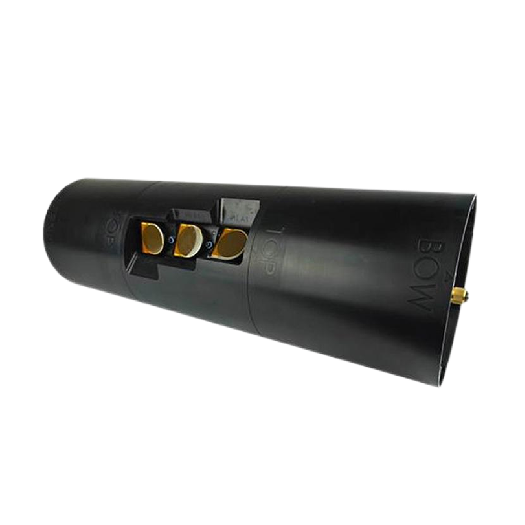
Insight Series
Depth RatingDepth Rating
Laser Wavelength
Scanning Range
Points per Line
Profile Sampling Rate*
Maximum Laser Output Power
Laser Scanner Data Output
Static Camera Data Output
Data Storage
Data Storage
Product Features
* Parameter limited by range
Insight Nano
1000m
450/520nm
0.13m~1.0m(SR) / 0.4m~2.5m(XR)
2064
35Hz*
<15mW
.XYZ (CSV), LAS Publishing
/
Host Storage / Cloud Storage
Ethernet, TCP/IP Communication
Short Range, Supports Static and Dynamic Scanning
Insight Micro
1000m / 4000m
450±10nm
0.7m~5.0m(SR) / 1.0m~7.0m(XR)
2464
50Hz@3 Hz Static Imaging / 100Hz*
<75mW
.XYZ (CSV), LAS Publishing
.JPG, .TIFF
Onboard Storage(2TB)/Host Storage / Cloud Storage
Ethernet, TCP/IP Communication
Medium to Long Range, Compatible with Static Camera Integration
Insight Pro
4000m / 6000m
450±10nm
1.5m~15m
2048
90Hz*
<75mW
.XYZ (CSV), LAS Publishing
/
Cloud Storage
Ethernet, TCP/IP Communication
Extended Range, Capable of Producing the Highest Quality Data


Related Products
BV5000
3D Imaging Sonar
Omnidirectional 3D Scanning Imaging Sonar System
C3D-15
Real-time 3D Sonar
Compact Real-time 3D Imaging Sonar
T2250-360
Tunnel Profiling System
Omnidirectional Real-time High-definition 3D Tunnel Profiling System
Marine Habitat Inspection
Spool and Hub Measurement via Dynamic Laser Scanning
Subsea Infrastructure Inspection
Erosion, Scour, Transport, and Sedimentation Analysis
AUV-based Autonomous Pipeline Inspection